INSTALLED CABLE GEOPHYSICAL SURVEY ACTIVITY (#116)
Offshore wind mariner update NO. 116
STATUS: Complete
On or about the 9th of June and continuing into Mid-August the 27’ TERRASOND CARTA, and the GO SEEKER will be conducting geophysical surveys using Multibeam Echosounder (MBES) and Side Scan Sonar (SSS) for identifying cable burial, free spans, exposure, crossings (if any) and monitoring seabed morphology changes around the Wind Turbine Generators, Scour Protection, Monopile foundations with Transition Piece, Monopile foundations, Electrical Service Platform foundations, As-laid Inter-array Cables, and the Export Cable from landfall to the Offshore Windfarm, south of Martha’s Vineyard Island. The F/V CHICAWA will be serving as a Scout Vessel.
PLEASE NOTE: All Mariners transiting or fishing in the area are requested to give a wide berth to the vessels as they are limited in their ability to maneuver. Passing arrangement can be made via VHF with the vessels.
All vessels will be standing by on VHF channels 16.
LOCATION(S): Lease Area OCS-A 0501
VESSELS:

TERRASOND CARTA
Flag: USA
Length: 27’
MMSI #: 338490533
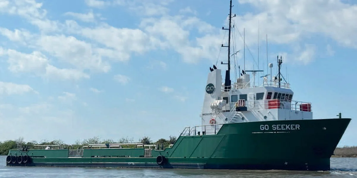

GO SEEKER
Flag: USA
Length: 164’
MMSI#: 368270390
F/V CHICAWA
Flag: USA
Length: 32’
MMSI #: 368213310

VINEYARD WIND
Michael Clayton, Project Manager, Cell: 484-868-3747 • Email: mclayton@vineyardwind.com
Jen Cullen, Fisheries Liaison, Cell: 508-648-4184 • Email: jcullen@vineyardwind.com
VineyardWind.com • info@vineyardwind.com • 508-717-8964
O&M Building on MV 69 Beach Rd. Vineyard Haven, MA 02568